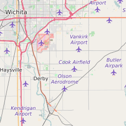
MSA Wichita, KS Map and Data
Wichita, KS Profile
| MSA Name | Wichita, KS |
| MSA Type | Metropolitan Statistical Area |
| Timezone | Central Daylight Time (CDT) |
| Population (2022) | 621,281 |
| Population Growth Rate (2010-19) | 2.5% |
| Majority Ethnicity | White: 76.56% |
| Median Household Income | $55,818 |
| Current Unemployment Rate | 3.9% |


Wichita, KS Race/Ethnicity Data
| Race/Ethnicity | Percentage of Population (2018) |
|---|---|
| White | 76.56% |
| African American | 7.07% |
| Hispanic | 12.02% |
| Asian | 3.4% |
| Native American | 0.9% |
| Hawaiin/Pacific Islander | 0.05% |
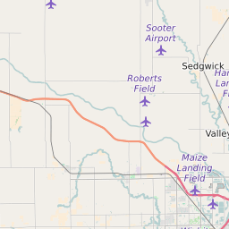
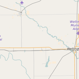
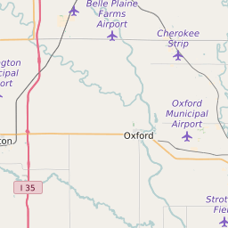
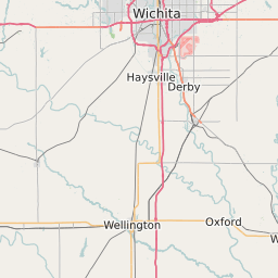
List of Counties in MSA Wichita, KS
| Butler County |
| Harvey County |
| Sedgwick County |
| Sumner County |