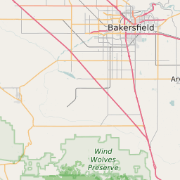
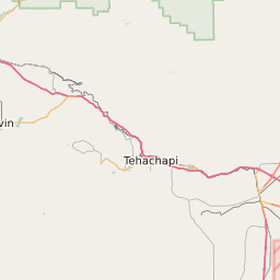
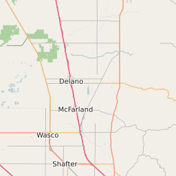
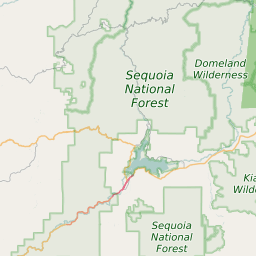
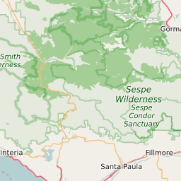
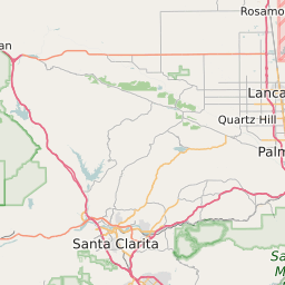
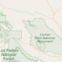
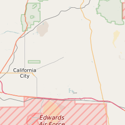
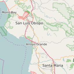
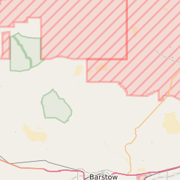
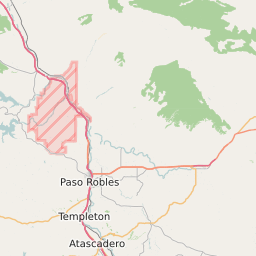
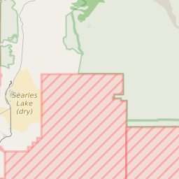
Kern County California Map and Data
Kern County California Profile and Data
| Name | Kern County |
| State | California |
| FIPS Code | 06029 |
| County Seat | Bakersfield |
| Timezone | Pacific Daylight Time (PDT) |
| Population (2022) | 839,153 |
| Population Growth Rate(2000-2022) | 8.29% |
| Majority Ethnicity | White 82.87% |
| Public School Majority Ethnicity | Hispanic 72% |
| Partisan Voting Index | Republican:+8 |
| Unemployment Rate (June 2025) | 8.9% |
| Area Code(s) | 661 / 442 / 760 / 805 / 820 |
Kern County Race/Ethnicity Data
| Race/Ethnicity | Percentage of Population (2022) |
|---|---|
| White | 82.87% |
| African American | 7.64% |
| Hispanic | 1.62% |
| Asian | 7.31% |
| Native American | 0.28% |
| Hawaiin/Pacific Islander | 0.28% |
Kern County Public School Race/Ethnicity Data
| Race/Ethnicity | Percentage of Public School Students (2023) |
|---|---|
| White | 16.57% |
| African American | 5.05% |
| Hispanic | 71.71% |
| Asian | 3.6% |
| Native American | 0.41% |
| Hawaiin/Pacific Islander | 0.2% |