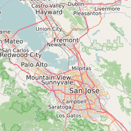
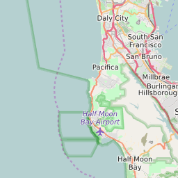
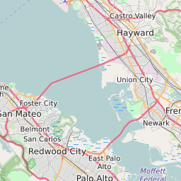
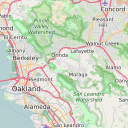
San Mateo County California Map and Data


San Mateo County California Profile and Data
| Name | San Mateo County |
| State | California |
| FIPS Code | 06081 |
| County Seat | Redwood City |
| Timezone | Pacific Daylight Time (PDT) |
| Population (2022) | 721,183 |
| Population Growth Rate(2000-2022) | 6.4% |
| Majority Ethnicity | White 54.62% |
| Public School Majority Ethnicity | Hispanic 38% |
| Partisan Voting Index | Strongly Democratic:+26 |
| Unemployment Rate (June 2025) | 3.4% |
| Area Code(s) | 650 / 415 / 628 / 831 |
San Mateo County Race/Ethnicity Data
| Race/Ethnicity | Percentage of Population (2022) |
|---|---|
| White | 54.62% |
| African American | 2.87% |
| Hispanic | 1.07% |
| Asian | 38.37% |
| Native American | 1.53% |
| Hawaiin/Pacific Islander | 1.53% |
San Mateo County Public School Race/Ethnicity Data
| Race/Ethnicity | Percentage of Public School Students (2023) |
|---|---|
| White | 24.5% |
| African American | 1% |
| Hispanic | 37.81% |
| Asian | 25.81% |
| Native American | 0.16% |
| Hawaiin/Pacific Islander | 1.39% |