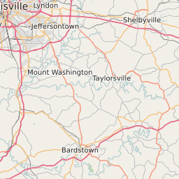
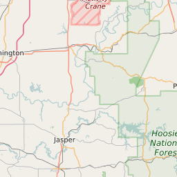
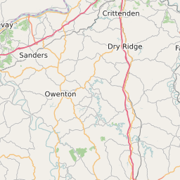
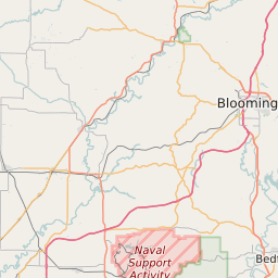
Clark County Indiana Map and Data


Clark County Indiana Profile and Data
| Name | Clark County |
| State | Indiana |
| FIPS Code | 18019 |
| County Seat | Jeffersonville |
| Timezone | Eastern Daylight Time (EDT) |
| Population (2022) | 110,100 |
| Population Growth Rate(2000-2022) | 9.85% |
| Majority Ethnicity | White 90.88% |
| Public School Majority Ethnicity | White 65% |
| Partisan Voting Index | Republican:+10 |
| Unemployment Rate (February 2025) | 3.7% |
| Area Code(s) | 812 / 930 |
Clark County Race/Ethnicity Data
| Race/Ethnicity | Percentage of Population (2022) |
|---|---|
| White | 90.88% |
| African American | 7.63% |
| Hispanic | 0.35% |
| Asian | 1.12% |
| Native American | 0.01% |
| Hawaiin/Pacific Islander | 0.01% |
Clark County Public School Race/Ethnicity Data
| Race/Ethnicity | Percentage of Public School Students (2023) |
|---|---|
| White | 65.31% |
| African American | 10.97% |
| Hispanic | 13.22% |
| Asian | 0.94% |
| Native American | 0.16% |
| Hawaiin/Pacific Islander | 0.25% |