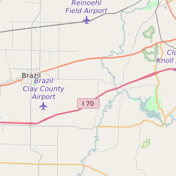
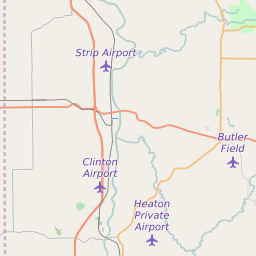
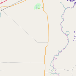
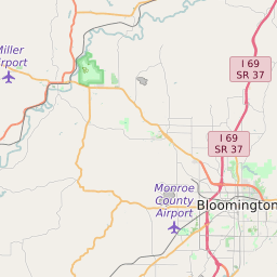
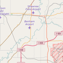
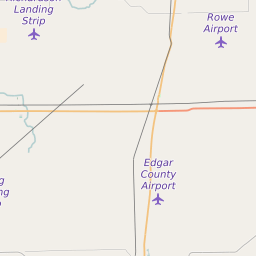
Clay County Indiana Map and Data


Clay County Indiana Profile and Data
| Name | Clay County |
| State | Indiana |
| FIPS Code | 18021 |
| County Seat | Brazil |
| Timezone | Eastern Daylight Time (EDT) |
| Population (2022) | 26,908 |
| Population Growth Rate(2000-2022) | -1.58% |
| Majority Ethnicity | White 99.23% |
| Public School Majority Ethnicity | White 93% |
| Partisan Voting Index | Strongly Republican:+29 |
| Unemployment Rate (February 2025) | 4.2% |
| Area Code(s) | 812 / 930 / 765 |
Clay County Race/Ethnicity Data
| Race/Ethnicity | Percentage of Population (2022) |
|---|---|
| White | 99.23% |
| African American | 0.39% |
| Hispanic | 0.02% |
| Asian | 0.22% |
| Native American | 0.07% |
| Hawaiin/Pacific Islander | 0.07% |
Clay County Public School Race/Ethnicity Data
| Race/Ethnicity | Percentage of Public School Students (2023) |
|---|---|
| White | 93.19% |
| African American | 0.22% |
| Hispanic | 2.9% |
| Asian | 0.2% |
| Native American | 0.17% |
| Hawaiin/Pacific Islander | 0.15% |