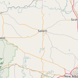
Floyd County Indiana Map and Data
Floyd County Indiana Profile and Data
| Name | Floyd County |
| State | Indiana |
| FIPS Code | 18043 |
| County Seat | New Albany |
| Timezone | Eastern Daylight Time (EDT) |
| Population (2022) | 74,601 |
| Population Growth Rate(2000-2022) | 7.92% |
| Majority Ethnicity | White 93.28% |
| Public School Majority Ethnicity | White 76% |
| Partisan Voting Index | Republican:+8 |
| Unemployment Rate (February 2025) | 3.5% |
| Area Code(s) | 812 / 930 |
Floyd County Race/Ethnicity Data
| Race/Ethnicity | Percentage of Population (2022) |
|---|---|
| White | 93.28% |
| African American | 5.35% |
| Hispanic | 0.11% |
| Asian | 1.24% |
| Native American | 0.01% |
| Hawaiin/Pacific Islander | 0.01% |
Floyd County Public School Race/Ethnicity Data
| Race/Ethnicity | Percentage of Public School Students (2023) |
|---|---|
| White | 75.99% |
| African American | 8.33% |
| Hispanic | 6.8% |
| Asian | 1.13% |
| Native American | 0.2% |
| Hawaiin/Pacific Islander | 0.15% |