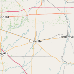
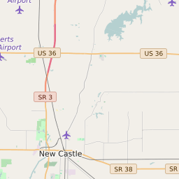
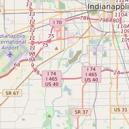
Hancock County Indiana Map and Data


Hancock County Indiana Profile and Data
| Name | Hancock County |
| State | Indiana |
| FIPS Code | 18059 |
| County Seat | Greenfield |
| Timezone | Eastern Standard Time (EST) |
| Population (2022) | 69,778 |
| Population Growth Rate(2000-2022) | 14.05% |
| Majority Ethnicity | White 96.07% |
| Public School Majority Ethnicity | White 84% |
| Partisan Voting Index | Republican:+18 |
| Unemployment Rate (January 2025) | 3.6% |
| Area Code(s) | 317 / 463 / 765 |
Hancock County Race/Ethnicity Data
| Race/Ethnicity | Percentage of Population (2022) |
|---|---|
| White | 96.07% |
| African American | 2.85% |
| Hispanic | 0.16% |
| Asian | 0.91% |
| Native American | 0% |
| Hawaiin/Pacific Islander | 0% |
Hancock County Public School Race/Ethnicity Data
| Race/Ethnicity | Percentage of Public School Students (2023) |
|---|---|
| White | 83.86% |
| African American | 4.75% |
| Hispanic | 4.63% |
| Asian | 1.54% |
| Native American | 0.19% |
| Hawaiin/Pacific Islander | 0.09% |