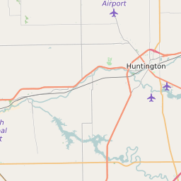
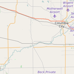
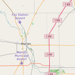
Huntington County Indiana Map and Data


Huntington County Indiana Profile and Data
| Name | Huntington County |
| State | Indiana |
| FIPS Code | 18069 |
| County Seat | Huntington |
| Timezone | Eastern Daylight Time (EDT) |
| Population (2022) | 37,144 |
| Population Growth Rate(2000-2022) | -1.24% |
| Majority Ethnicity | White 97.77% |
| Public School Majority Ethnicity | White 90% |
| Partisan Voting Index | Strongly Republican:+25 |
| Unemployment Rate (February 2025) | 3.8% |
| Area Code(s) | 260 / 765 |
Huntington County Race/Ethnicity Data
| Race/Ethnicity | Percentage of Population (2022) |
|---|---|
| White | 97.77% |
| African American | 0.97% |
| Hispanic | 0.21% |
| Asian | 0.73% |
| Native American | 0.16% |
| Hawaiin/Pacific Islander | 0.16% |
Huntington County Public School Race/Ethnicity Data
| Race/Ethnicity | Percentage of Public School Students (2023) |
|---|---|
| White | 90.1% |
| African American | 0.97% |
| Hispanic | 4.66% |
| Asian | 0.54% |
| Native American | 0.34% |
| Hawaiin/Pacific Islander | 0.05% |