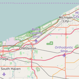
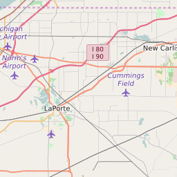
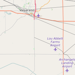
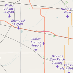
LaPorte County Indiana Map and Data


LaPorte County Indiana Profile and Data
| Name | LaPorte County |
| State | Indiana |
| FIPS Code | 18091 |
| Timezone | Central Standard Time (CST) |
| Population (2022) | 111,335 |
| Population Growth Rate(2000-2022) | 0.85% |
| Majority Ethnicity | White 87.36% |
| Public School Majority Ethnicity | White 68% |
| Partisan Voting Index | Republican:+6 |
| Unemployment Rate (January 2025) | 4.9% |
| Area Code(s) | 219 / 574 |
LaPorte County Race/Ethnicity Data
| Race/Ethnicity | Percentage of Population (2022) |
|---|---|
| White | 87.36% |
| African American | 11.65% |
| Hispanic | 0.23% |
| Asian | 0.68% |
| Native American | 0.04% |
| Hawaiin/Pacific Islander | 0.04% |
LaPorte County Public School Race/Ethnicity Data
| Race/Ethnicity | Percentage of Public School Students (2023) |
|---|---|
| White | 67.72% |
| African American | 12.85% |
| Hispanic | 11.66% |
| Asian | 0.47% |
| Native American | 0.14% |
| Hawaiin/Pacific Islander | 0.09% |