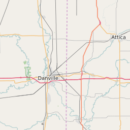
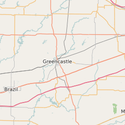
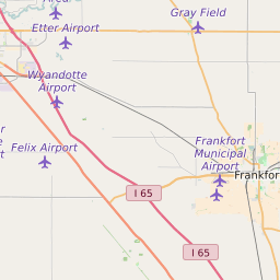
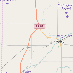
Montgomery County Indiana Map and Data


Montgomery County Indiana Profile and Data
| Name | Montgomery County |
| State | Indiana |
| FIPS Code | 18107 |
| County Seat | Crawfordsville |
| Timezone | Eastern Daylight Time (EDT) |
| Population (2022) | 38,207 |
| Population Growth Rate(2000-2022) | -0.49% |
| Majority Ethnicity | White 98.55% |
| Public School Majority Ethnicity | White 83% |
| Partisan Voting Index | Strongly Republican:+25 |
| Unemployment Rate (February 2025) | 3.5% |
| Area Code(s) | 765 |
Montgomery County Race/Ethnicity Data
| Race/Ethnicity | Percentage of Population (2022) |
|---|---|
| White | 98.55% |
| African American | 0.88% |
| Hispanic | 0.01% |
| Asian | 0.46% |
| Native American | 0.05% |
| Hawaiin/Pacific Islander | 0.05% |
Montgomery County Public School Race/Ethnicity Data
| Race/Ethnicity | Percentage of Public School Students (2023) |
|---|---|
| White | 82.69% |
| African American | 1.35% |
| Hispanic | 12.32% |
| Asian | 0.68% |
| Native American | 0.18% |
| Hawaiin/Pacific Islander | 0.05% |