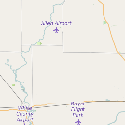
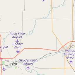
White County Indiana Map and Data


White County Indiana Profile and Data
| Name | White County |
| State | Indiana |
| FIPS Code | 18181 |
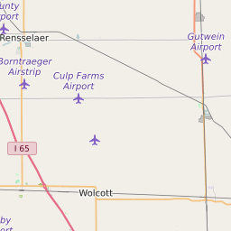
| County Seat | Monticello |
| Timezone | Eastern Daylight Time (EDT) |
| Population (2022) | 24,612 |
| Population Growth Rate(2000-2022) | 0.18% |
| Majority Ethnicity | White 98.85% |
| Public School Majority Ethnicity | White 77% |
| Partisan Voting Index | Strongly Republican:+23 |
| Unemployment Rate (February 2025) | 3.7% |
| Area Code(s) | 219 / 574 / 765 |
White County Race/Ethnicity Data
| Race/Ethnicity | Percentage of Population (2022) |
|---|---|
| White | 98.85% |
| African American | 0.54% |
| Hispanic | 0.12% |
| Asian | 0.32% |
| Native American | 0.09% |
| Hawaiin/Pacific Islander | 0.09% |
White County Public School Race/Ethnicity Data
| Race/Ethnicity | Percentage of Public School Students (2023) |
|---|---|
| White | 77.12% |
| African American | 0.64% |
| Hispanic | 18.91% |
| Asian | 0.11% |
| Native American | 0.16% |
| Hawaiin/Pacific Islander | 0.02% |