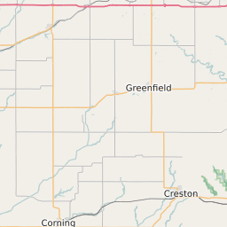
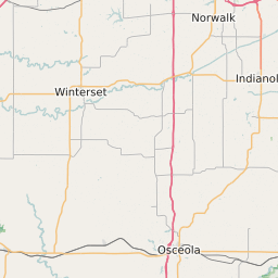
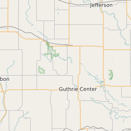
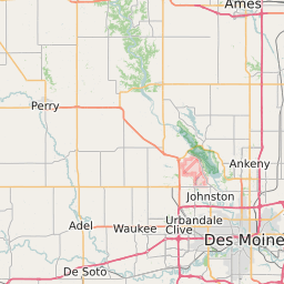
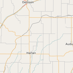
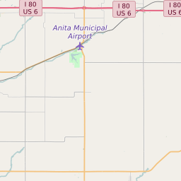
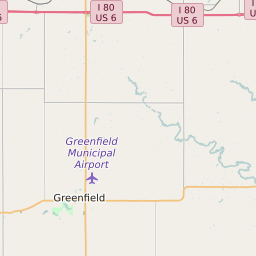
Adair County Iowa Map and Data


Adair County Iowa Profile and Data
| Name | Adair County |
| State | Iowa |
| FIPS Code | 19001 |
| County Seat | Greenfield |
| Timezone | Central Daylight Time (CDT) |
| Population (2022) | 7,628 |
| Population Growth Rate(2000-2022) | -2.42% |
| Majority Ethnicity | White 98.89% |
| Public School Majority Ethnicity | White 91% |
| Partisan Voting Index | Strongly Republican:+23 |
| Unemployment Rate (February 2025) | 2.1% |
| Area Code(s) | 641 / 515 / 712 |
Adair County Race/Ethnicity Data
| Race/Ethnicity | Percentage of Population (2022) |
|---|---|
| White | 98.89% |
| African American | 0.66% |
| Hispanic | 0% |
| Asian | 0.12% |
| Native American | 0.16% |
| Hawaiin/Pacific Islander | 0.16% |
Adair County Public School Race/Ethnicity Data
| Race/Ethnicity | Percentage of Public School Students (2023) |
|---|---|
| White | 91.09% |
| African American | 0.48% |
| Hispanic | 5.09% |
| Asian | 0.08% |
| Native American | 0.48% |
| Hawaiin/Pacific Islander | 0% |