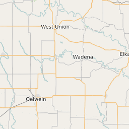
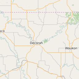
Clayton County Iowa Map and Data


Clayton County Iowa Profile and Data
| Name | Clayton County |
| State | Iowa |
| FIPS Code | 19043 |
| County Seat | Elkader |
| Timezone | Central Standard Time (CST) |
| Population (2022) | 18,056 |
| Population Growth Rate(2000-2022) | -5.99% |
| Majority Ethnicity | White 99.14% |
| Public School Majority Ethnicity | White 87% |
| Partisan Voting Index | Republican:+17 |
| Unemployment Rate (January 2025) | 3.3% |
| Area Code(s) | 563 |
Clayton County Race/Ethnicity Data
| Race/Ethnicity | Percentage of Population (2022) |
|---|---|
| White | 99.14% |
| African American | 0.4% |
| Hispanic | 0.08% |
| Asian | 0.37% |
| Native American | 0% |
| Hawaiin/Pacific Islander | 0% |
Clayton County Public School Race/Ethnicity Data
| Race/Ethnicity | Percentage of Public School Students (2023) |
|---|---|
| White | 87.35% |
| African American | 3.61% |
| Hispanic | 5.2% |
| Asian | 0.33% |
| Native American | 0.18% |
| Hawaiin/Pacific Islander | 0.18% |