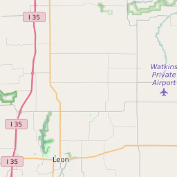
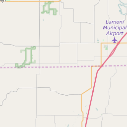
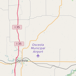
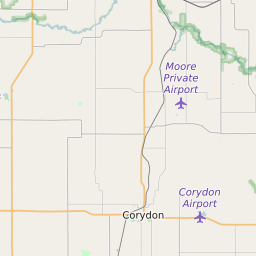
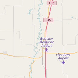
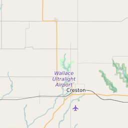
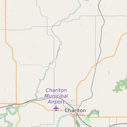
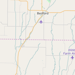
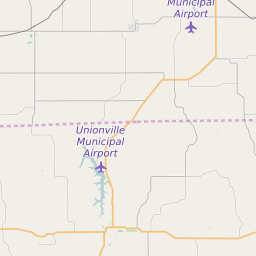
Decatur County Iowa Map and Data


Decatur County Iowa Profile and Data
| Name | Decatur County |
| State | Iowa |
| FIPS Code | 19053 |
| County Seat | Leon |
| Timezone | Central Daylight Time (CDT) |
| Population (2022) | 8,382 |
| Population Growth Rate(2000-2022) | -9.6% |
| Majority Ethnicity | White 97.5% |
| Public School Majority Ethnicity | White 91% |
| Partisan Voting Index | Strongly Republican:+22 |
| Unemployment Rate (February 2025) | 2.2% |
| Area Code(s) | 641 |
Decatur County Race/Ethnicity Data
| Race/Ethnicity | Percentage of Population (2022) |
|---|---|
| White | 97.5% |
| African American | 1.32% |
| Hispanic | 0.27% |
| Asian | 0.64% |
| Native American | 0.14% |
| Hawaiin/Pacific Islander | 0.14% |
Decatur County Public School Race/Ethnicity Data
| Race/Ethnicity | Percentage of Public School Students (2023) |
|---|---|
| White | 91.39% |
| African American | 0.68% |
| Hispanic | 4.43% |
| Asian | 0.43% |
| Native American | 0.09% |
| Hawaiin/Pacific Islander | 0.09% |