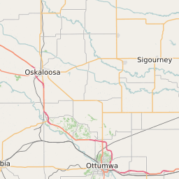
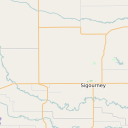
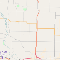
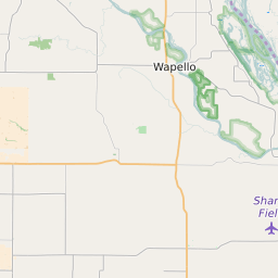
Keokuk County Iowa Map and Data


Keokuk County Iowa Profile and Data
| Name | Keokuk County |
| State | Iowa |
| FIPS Code | 19107 |
| County Seat | Sigourney |
| Timezone | Central Standard Time (CST) |
| Population (2022) | 10,480 |
| Population Growth Rate(2000-2022) | -4.55% |
| Majority Ethnicity | White 99.18% |
| Public School Majority Ethnicity | White 93% |
| Partisan Voting Index | Strongly Republican:+25 |
| Unemployment Rate (January 2025) | 3.1% |
| Area Code(s) | 641 / 319 |
Keokuk County Race/Ethnicity Data
| Race/Ethnicity | Percentage of Population (2022) |
|---|---|
| White | 99.18% |
| African American | 0.61% |
| Hispanic | 0.08% |
| Asian | 0.12% |
| Native American | 0% |
| Hawaiin/Pacific Islander | 0% |
Keokuk County Public School Race/Ethnicity Data
| Race/Ethnicity | Percentage of Public School Students (2023) |
|---|---|
| White | 92.88% |
| African American | 1.16% |
| Hispanic | 4.18% |
| Asian | 0.09% |
| Native American | 0% |
| Hawaiin/Pacific Islander | 0% |