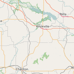
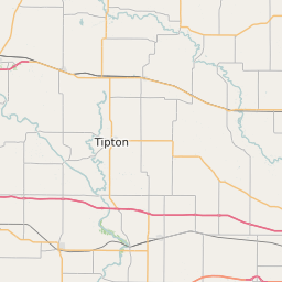
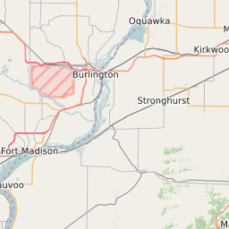
Marion County Iowa Map and Data


Marion County Iowa Profile and Data
| Name | Marion County |
| State | Iowa |
| FIPS Code | 19125 |
| County Seat | Knoxville |
| Timezone | Central Standard Time (CST) |
| Population (2022) | 33,388 |
| Population Growth Rate(2000-2022) | 0.32% |
| Majority Ethnicity | White 98.23% |
| Public School Majority Ethnicity | White 90% |
| Partisan Voting Index | Republican:+19 |
| Unemployment Rate (January 2025) | 2.3% |
| Area Code(s) | 641 / 515 |
Marion County Race/Ethnicity Data
| Race/Ethnicity | Percentage of Population (2022) |
|---|---|
| White | 98.23% |
| African American | 0.58% |
| Hispanic | 0.1% |
| Asian | 1.04% |
| Native American | 0.03% |
| Hawaiin/Pacific Islander | 0.03% |
Marion County Public School Race/Ethnicity Data
| Race/Ethnicity | Percentage of Public School Students (2023) |
|---|---|
| White | 90.32% |
| African American | 1.08% |
| Hispanic | 3.77% |
| Asian | 1.07% |
| Native American | 0.2% |
| Hawaiin/Pacific Islander | 0.25% |