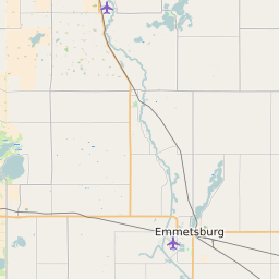
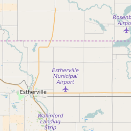
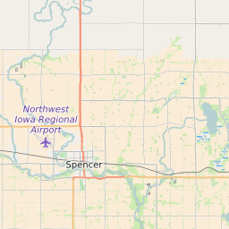
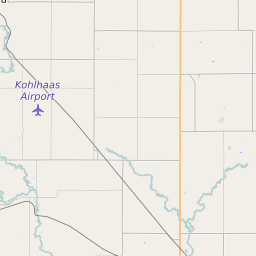
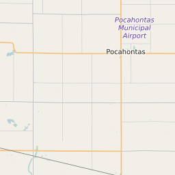
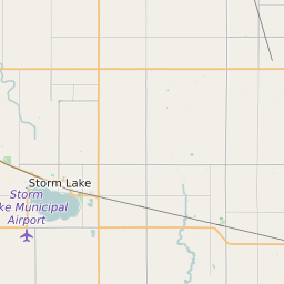
Palo Alto County Iowa Map and Data


Palo Alto County Iowa Profile and Data
| Name | Palo Alto County |
| State | Iowa |
| FIPS Code | 19147 |
| County Seat | Emmetsburg |
| Timezone | Central Daylight Time (CDT) |
| Population (2022) | 9,402 |
| Population Growth Rate(2000-2022) | -4.51% |
| Majority Ethnicity | White 97.26% |
| Public School Majority Ethnicity | White 90% |
| Partisan Voting Index | Strongly Republican:+22 |
| Unemployment Rate (February 2025) | 2.5% |
| Area Code(s) | 712 / 515 |
Palo Alto County Race/Ethnicity Data
| Race/Ethnicity | Percentage of Population (2022) |
|---|---|
| White | 97.26% |
| African American | 2.15% |
| Hispanic | 0% |
| Asian | 0.59% |
| Native American | 0% |
| Hawaiin/Pacific Islander | 0% |
Palo Alto County Public School Race/Ethnicity Data
| Race/Ethnicity | Percentage of Public School Students (2023) |
|---|---|
| White | 90.3% |
| African American | 0.72% |
| Hispanic | 6.25% |
| Asian | 0.85% |
| Native American | 0.26% |
| Hawaiin/Pacific Islander | 0% |