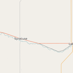
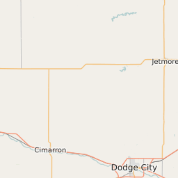
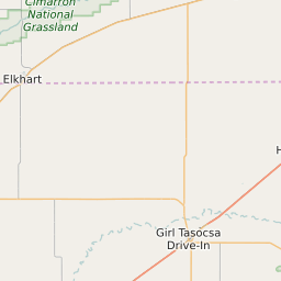
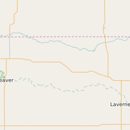
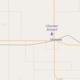
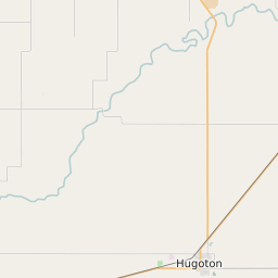
Haskell County Kansas Map and Data

Haskell County Kansas Profile and Data
| Name | Haskell County |
| State | Kansas |
| FIPS Code | 20081 |
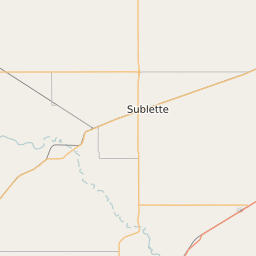
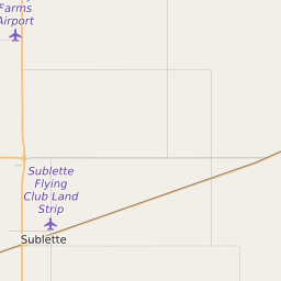
| County Seat | Sublette |
| Timezone | Central Daylight Time (CDT) |
| Population (2022) | 4,222 |
| Population Growth Rate(2000-2022) | -11.18% |
| Majority Ethnicity | White 98.37% |
| Public School Majority Ethnicity | White 55% |
| Partisan Voting Index | Strongly Republican:+32 |
| Unemployment Rate (May 2025) | 3.4% |
| Area Code(s) | 620 |
Haskell County Race/Ethnicity Data
| Race/Ethnicity | Percentage of Population (2022) |
|---|---|
| White | 98.37% |
| African American | 0.45% |
| Hispanic | 1.18% |
| Asian | 0% |
| Native American | 0% |
| Hawaiin/Pacific Islander | 0% |
Haskell County Public School Race/Ethnicity Data
| Race/Ethnicity | Percentage of Public School Students (2023) |
|---|---|
| White | 54.92% |
| African American | 0.16% |
| Hispanic | 44.6% |
| Asian | 0% |
| Native American | 0% |
| Hawaiin/Pacific Islander | 0% |