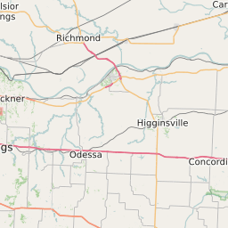
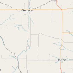
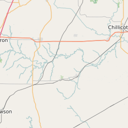
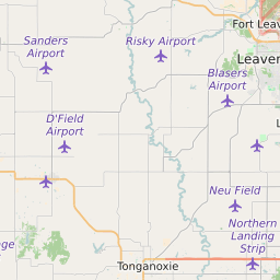
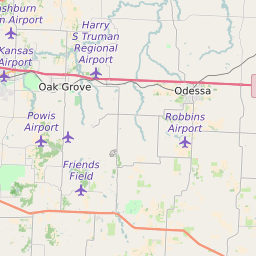
Leavenworth County Kansas Map and Data
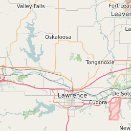

Leavenworth County Kansas Profile and Data
| Name | Leavenworth County |
| State | Kansas |
| FIPS Code | 20103 |
| County Seat | Leavenworth |
| Timezone | Central Daylight Time (CDT) |
| Population (2022) | 76,286 |
| Population Growth Rate(2000-2022) | 7.42% |
| Majority Ethnicity | White 89.63% |
| Public School Majority Ethnicity | White 69% |
| Partisan Voting Index | Republican:+11 |
| Unemployment Rate (February 2025) | 3.3% |
| Area Code(s) | 913 / 785 / 816 / 975 |
Leavenworth County Race/Ethnicity Data
| Race/Ethnicity | Percentage of Population (2022) |
|---|---|
| White | 89.63% |
| African American | 8.33% |
| Hispanic | 0.51% |
| Asian | 1.43% |
| Native American | 0.05% |
| Hawaiin/Pacific Islander | 0.05% |
Leavenworth County Public School Race/Ethnicity Data
| Race/Ethnicity | Percentage of Public School Students (2023) |
|---|---|
| White | 69.16% |
| African American | 7.6% |
| Hispanic | 12.47% |
| Asian | 1.36% |
| Native American | 0.45% |
| Hawaiin/Pacific Islander | 0.27% |