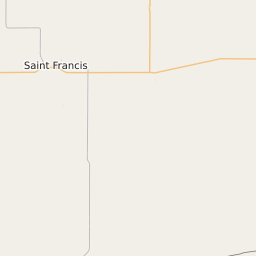
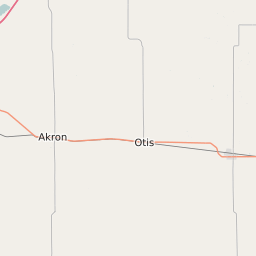
Rawlins County Kansas Map and Data


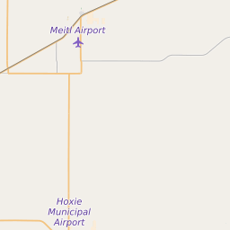
Rawlins County Kansas Profile and Data
| Name | Rawlins County |
| State | Kansas |
| FIPS Code | 20153 |
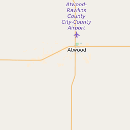
| County Seat | Atwood |
| Timezone | Central Standard Time (CST) |
| Population (2022) | 2,555 |
| Population Growth Rate(2000-2022) | 1.67% |
| Majority Ethnicity | White 98.29% |
| Public School Majority Ethnicity | White 87% |
| Partisan Voting Index | Strongly Republican:+36 |
| Unemployment Rate (January 2025) | 2.3% |
| Area Code(s) | 785 |
Rawlins County Race/Ethnicity Data
| Race/Ethnicity | Percentage of Population (2022) |
|---|---|
| White | 98.29% |
| African American | 0.58% |
| Hispanic | 0.67% |
| Asian | 0.46% |
| Native American | 0% |
| Hawaiin/Pacific Islander | 0% |
Rawlins County Public School Race/Ethnicity Data
| Race/Ethnicity | Percentage of Public School Students (2023) |
|---|---|
| White | 86.98% |
| African American | 1.3% |
| Hispanic | 10.42% |
| Asian | 0% |
| Native American | 0% |
| Hawaiin/Pacific Islander | 0.26% |