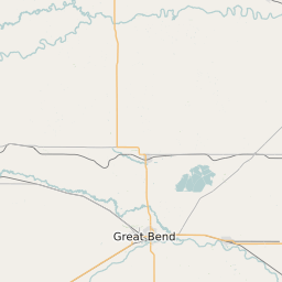
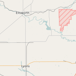
Rice County Kansas Map and Data


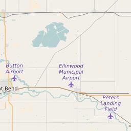
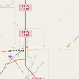
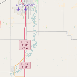
Rice County Kansas Profile and Data
| Name | Rice County |
| State | Kansas |
| FIPS Code | 20159 |
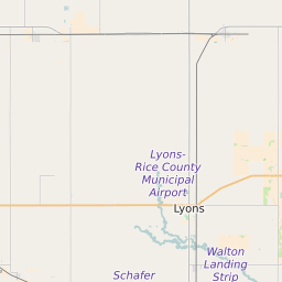
| County Seat | Lyons |
| Timezone | Central Standard Time (CST) |
| Population (2022) | 10,077 |
| Population Growth Rate(2000-2022) | -6.51% |
| Majority Ethnicity | White 95.9% |
| Public School Majority Ethnicity | White 73% |
| Partisan Voting Index | Strongly Republican:+28 |
| Unemployment Rate (January 2025) | 2.7% |
| Area Code(s) | 620 |
Rice County Race/Ethnicity Data
| Race/Ethnicity | Percentage of Population (2022) |
|---|---|
| White | 95.9% |
| African American | 2.25% |
| Hispanic | 0.7% |
| Asian | 0.49% |
| Native American | 0.33% |
| Hawaiin/Pacific Islander | 0.33% |
Rice County Public School Race/Ethnicity Data
| Race/Ethnicity | Percentage of Public School Students (2023) |
|---|---|
| White | 72.72% |
| African American | 1.88% |
| Hispanic | 22.32% |
| Asian | 0.34% |
| Native American | 0.27% |
| Hawaiin/Pacific Islander | 0% |