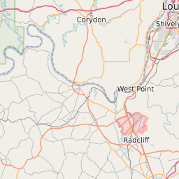
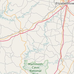
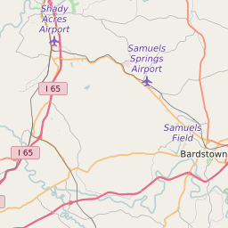
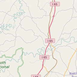
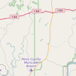
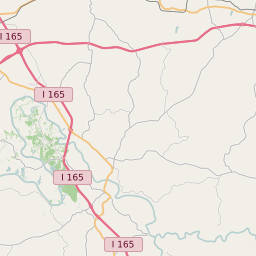
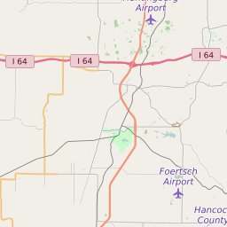
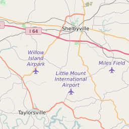
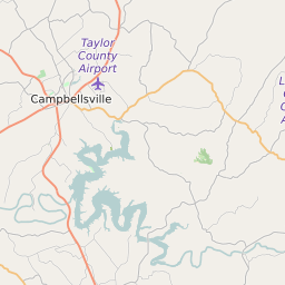
Hardin County Kentucky Map and Data


Hardin County Kentucky Profile and Data
| Name | Hardin County |
| State | Kentucky |
| FIPS Code | 21093 |
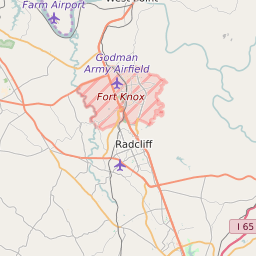
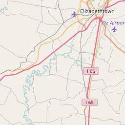
| County Seat | Elizabethtown |
| Timezone | Eastern Daylight Time (EDT) |
| Population (2022) | 104,513 |
| Population Growth Rate(2000-2022) | 4.89% |
| Majority Ethnicity | White 83.88% |
| Public School Majority Ethnicity | White 66% |
| Partisan Voting Index | Republican:+14 |
| Unemployment Rate (February 2025) | 5.4% |
| Area Code(s) | 270 / 364 / 502 |
Hardin County Race/Ethnicity Data
| Race/Ethnicity | Percentage of Population (2022) |
|---|---|
| White | 83.88% |
| African American | 12.85% |
| Hispanic | 0.24% |
| Asian | 2.13% |
| Native American | 0.45% |
| Hawaiin/Pacific Islander | 0.45% |
Hardin County Public School Race/Ethnicity Data
| Race/Ethnicity | Percentage of Public School Students (2023) |
|---|---|
| White | 66.49% |
| African American | 12.06% |
| Hispanic | 9.27% |
| Asian | 1.43% |
| Native American | 0.16% |
| Hawaiin/Pacific Islander | 0.54% |