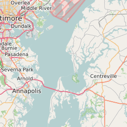
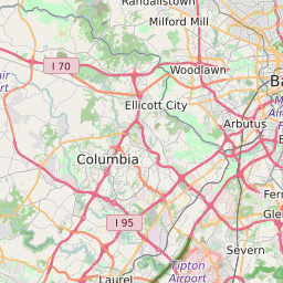
Harford County Maryland Map and Data
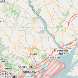


Harford County Maryland Profile and Data
| Name | Harford County |
| State | Maryland |
| FIPS Code | 24025 |
| County Seat | Bel Air |
| Timezone | Eastern Daylight Time (EDT) |
| Population (2022) | 245,396 |
| Population Growth Rate(2000-2022) | 6.58% |
| Majority Ethnicity | White 81.27% |
| Public School Majority Ethnicity | White 59% |
| Partisan Voting Index | Republican:+7 |
| Unemployment Rate (February 2025) | 2.4% |
| Area Code(s) | 410 / 443 / 667 |
Harford County Race/Ethnicity Data
| Race/Ethnicity | Percentage of Population (2022) |
|---|---|
| White | 81.27% |
| African American | 15.33% |
| Hispanic | 0.11% |
| Asian | 3.18% |
| Native American | 0.06% |
| Hawaiin/Pacific Islander | 0.06% |
Harford County Public School Race/Ethnicity Data
| Race/Ethnicity | Percentage of Public School Students (2023) |
|---|---|
| White | 58.88% |
| African American | 20.78% |
| Hispanic | 9.02% |
| Asian | 3.4% |
| Native American | 0.21% |
| Hawaiin/Pacific Islander | 0.15% |