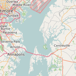
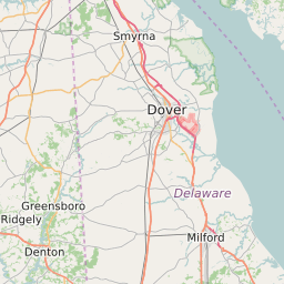
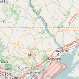
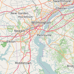
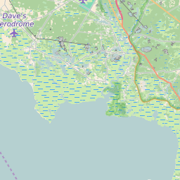
Kent County Maryland Map and Data


Kent County Maryland Profile and Data
| Name | Kent County |
| State | Maryland |
| FIPS Code | 24029 |
| County Seat | Chestertown |
| Timezone | Eastern Daylight Time (EDT) |
| Population (2022) | 20,184 |
| Population Growth Rate(2000-2022) | -4.95% |
| Majority Ethnicity | White 83.67% |
| Public School Majority Ethnicity | White 54% |
| Partisan Voting Index | Republican:+1 |
| Unemployment Rate (February 2025) | 3.0% |
| Area Code(s) | 410 / 443 / 667 |
Kent County Race/Ethnicity Data
| Race/Ethnicity | Percentage of Population (2022) |
|---|---|
| White | 83.67% |
| African American | 15.14% |
| Hispanic | 0.02% |
| Asian | 1.04% |
| Native American | 0.07% |
| Hawaiin/Pacific Islander | 0.07% |
Kent County Public School Race/Ethnicity Data
| Race/Ethnicity | Percentage of Public School Students (2023) |
|---|---|
| White | 54.08% |
| African American | 23.76% |
| Hispanic | 12.39% |
| Asian | 0.74% |
| Native American | 0.11% |
| Hawaiin/Pacific Islander | 0% |