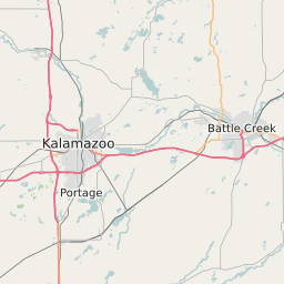
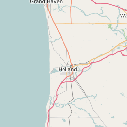
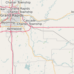
Van Buren County Michigan Map and Data


Van Buren County Michigan Profile and Data
| Name | Van Buren County |
| State | Michigan |
| FIPS Code | 26159 |
| County Seat | Paw Paw |
| Timezone | Eastern Standard Time (EST) |
| Population (2022) | 76,149 |
| Population Growth Rate(2000-2022) | -0.88% |
| Majority Ethnicity | White 94.8% |
| Public School Majority Ethnicity | White 68% |
| Partisan Voting Index | Republican:+8 |
| Unemployment Rate (January 2025) | 5.0% |
| Area Code(s) | 269 |
Van Buren County Race/Ethnicity Data
| Race/Ethnicity | Percentage of Population (2022) |
|---|---|
| White | 94.8% |
| African American | 3.84% |
| Hispanic | 0.63% |
| Asian | 0.71% |
| Native American | 0.01% |
| Hawaiin/Pacific Islander | 0.01% |
Van Buren County Public School Race/Ethnicity Data
| Race/Ethnicity | Percentage of Public School Students (2023) |
|---|---|
| White | 68.11% |
| African American | 4.41% |
| Hispanic | 20.47% |
| Asian | 0.62% |
| Native American | 0.49% |
| Hawaiin/Pacific Islander | 0.02% |