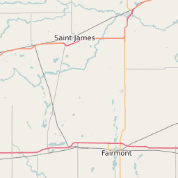
Watonwan County Minnesota Map and Data


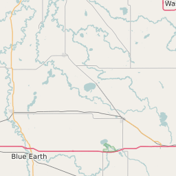

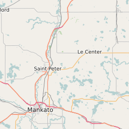

Watonwan County Minnesota Profile and Data
| Name | Watonwan County |
| State | Minnesota |
| FIPS Code | 27165 |
| County Seat | St. James |
| Timezone | Central Standard Time (CST) |
| Population (2022) | 11,177 |
| Population Growth Rate(2000-2022) | 0.37% |
| Majority Ethnicity | White 97.72% |
| Public School Majority Ethnicity | Hispanic 55% |
| Partisan Voting Index | Republican:+13 |
| Unemployment Rate (January 2025) | 2.4% |
| Area Code(s) | 507 |
Watonwan County Race/Ethnicity Data
| Race/Ethnicity | Percentage of Population (2022) |
|---|---|
| White | 97.72% |
| African American | 0.48% |
| Hispanic | 0.11% |
| Asian | 1.69% |
| Native American | 0% |
| Hawaiin/Pacific Islander | 0% |
Watonwan County Public School Race/Ethnicity Data
| Race/Ethnicity | Percentage of Public School Students (2023) |
|---|---|
| White | 42.43% |
| African American | 0.2% |
| Hispanic | 55.17% |
| Asian | 0.77% |
| Native American | 0% |
| Hawaiin/Pacific Islander | 0.2% |