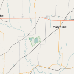
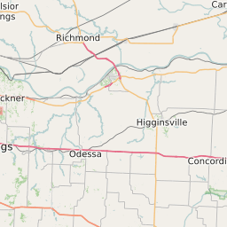
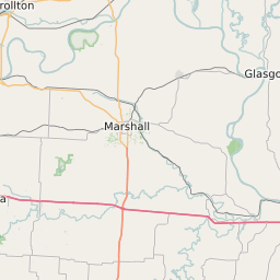
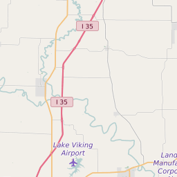
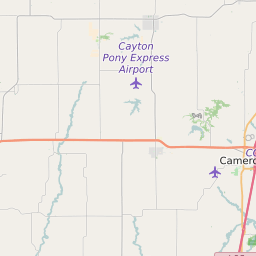
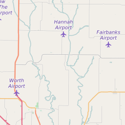
Daviess County Missouri Map and Data


Daviess County Missouri Profile and Data
| Name | Daviess County |
| State | Missouri |
| FIPS Code | 29061 |
| County Seat | Gallatin |
| Timezone | Central Standard Time (CST) |
| Population (2022) | 8,341 |
| Population Growth Rate(2000-2022) | -0.04% |
| Majority Ethnicity | White 98.65% |
| Public School Majority Ethnicity | White 97% |
| Partisan Voting Index | Strongly Republican:+32 |
| Unemployment Rate (January 2025) | 2.7% |
| Area Code(s) | 660 / 816 / 975 |
Daviess County Race/Ethnicity Data
| Race/Ethnicity | Percentage of Population (2022) |
|---|---|
| White | 98.65% |
| African American | 0.55% |
| Hispanic | 0.22% |
| Asian | 0.32% |
| Native American | 0.13% |
| Hawaiin/Pacific Islander | 0.13% |
Daviess County Public School Race/Ethnicity Data
| Race/Ethnicity | Percentage of Public School Students (2023) |
|---|---|
| White | 96.55% |
| African American | 0.97% |
| Hispanic | 0.71% |
| Asian | 0.35% |
| Native American | 0% |
| Hawaiin/Pacific Islander | 0.09% |