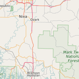
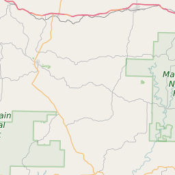
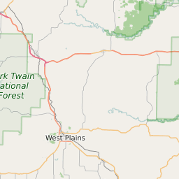
Douglas County Missouri Map and Data
Douglas County Missouri Profile and Data
| Name | Douglas County |
| State | Missouri |
| FIPS Code | 29067 |
| County Seat | Ava |
| Timezone | Central Daylight Time (CDT) |
| Population (2022) | 13,690 |
| Population Growth Rate(2000-2022) | -15.39% |
| Majority Ethnicity | White 98.26% |
| Public School Majority Ethnicity | White 95% |
| Partisan Voting Index | Strongly Republican:+37 |
| Unemployment Rate (February 2025) | 3.6% |
| Area Code(s) | 417 |
Douglas County Race/Ethnicity Data
| Race/Ethnicity | Percentage of Population (2022) |
|---|---|
| White | 98.26% |
| African American | 0.5% |
| Hispanic | 1.11% |
| Asian | 0.12% |
| Native American | 0% |
| Hawaiin/Pacific Islander | 0% |
Douglas County Public School Race/Ethnicity Data
| Race/Ethnicity | Percentage of Public School Students (2023) |
|---|---|
| White | 94.81% |
| African American | 0.47% |
| Hispanic | 2.49% |
| Asian | 0.27% |
| Native American | 0.34% |
| Hawaiin/Pacific Islander | 0.13% |