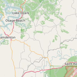
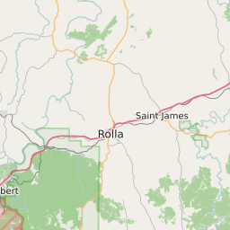
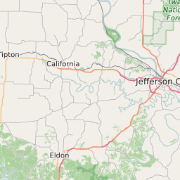
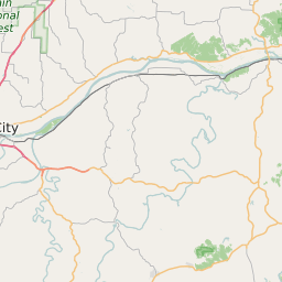
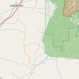
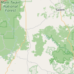
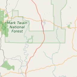
Maries County Missouri Map and Data


Maries County Missouri Profile and Data
| Name | Maries County |
| State | Missouri |
| FIPS Code | 29125 |
| County Seat | Vienna |
| Timezone | Central Daylight Time (CDT) |
| Population (2022) | 9,140 |
| Population Growth Rate(2000-2022) | -8.11% |
| Majority Ethnicity | White 98.35% |
| Public School Majority Ethnicity | White 94% |
| Partisan Voting Index | Strongly Republican:+34 |
| Unemployment Rate (February 2025) | 3.4% |
| Area Code(s) | 235 / 573 |
Maries County Race/Ethnicity Data
| Race/Ethnicity | Percentage of Population (2022) |
|---|---|
| White | 98.35% |
| African American | 0.34% |
| Hispanic | 1.11% |
| Asian | 0.2% |
| Native American | 0% |
| Hawaiin/Pacific Islander | 0% |
Maries County Public School Race/Ethnicity Data
| Race/Ethnicity | Percentage of Public School Students (2023) |
|---|---|
| White | 93.56% |
| African American | 1.23% |
| Hispanic | 2.36% |
| Asian | 0.38% |
| Native American | 0.59% |
| Hawaiin/Pacific Islander | 0.16% |