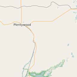
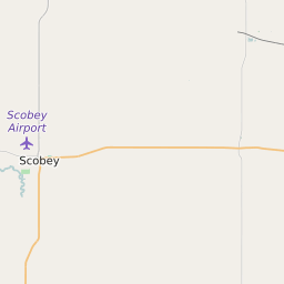
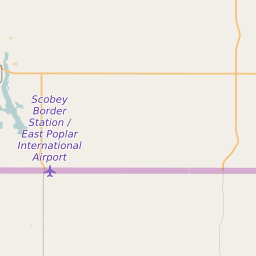
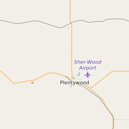
Daniels County Montana Map and Data


Daniels County Montana Profile and Data
| Name | Daniels County |
| State | Montana |
| FIPS Code | 30019 |
| County Seat | Scobey |
| Timezone | Mountain Daylight Time (MDT) |
| Population (2022) | 1,734 |
| Population Growth Rate(2000-2022) | -5.14% |
| Majority Ethnicity | White 95.2% |
| Public School Majority Ethnicity | White 75% |
| Partisan Voting Index | Strongly Republican:+32 |
| Unemployment Rate (February 2025) | 1.8% |
| Area Code(s) | 406 |
Daniels County Race/Ethnicity Data
| Race/Ethnicity | Percentage of Population (2022) |
|---|---|
| White | 95.2% |
| African American | 0.34% |
| Hispanic | 2.54% |
| Asian | 1.92% |
| Native American | 0% |
| Hawaiin/Pacific Islander | 0% |
Daniels County Public School Race/Ethnicity Data
| Race/Ethnicity | Percentage of Public School Students (2023) |
|---|---|
| White | 75.03% |
| African American | 3.08% |
| Hispanic | 5.5% |
| Asian | 8.8% |
| Native American | 2.42% |
| Hawaiin/Pacific Islander | 0.11% |