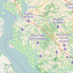
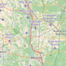
Cumberland County New Jersey Map and Data


Cumberland County New Jersey Profile and Data
| Name | Cumberland County |
| State | New Jersey |
| FIPS Code | 34011 |
| County Seat | Bridgeton |
| Timezone | Eastern Daylight Time (EDT) |
| Population (2022) | 156,864 |
| Population Growth Rate(2000-2022) | -1.75% |
| Majority Ethnicity | White 72.48% |
| Public School Majority Ethnicity | Hispanic 52% |
| Partisan Voting Index | Republican:+1 |
| Unemployment Rate (February 2025) | 6.5% |
| Area Code(s) | 856 / 609 / 640 / |
Cumberland County Race/Ethnicity Data
| Race/Ethnicity | Percentage of Population (2022) |
|---|---|
| White | 72.48% |
| African American | 24.3% |
| Hispanic | 1.18% |
| Asian | 1.99% |
| Native American | 0.03% |
| Hawaiin/Pacific Islander | 0.03% |
Cumberland County Public School Race/Ethnicity Data
| Race/Ethnicity | Percentage of Public School Students (2023) |
|---|---|
| White | 23.85% |
| African American | 19.35% |
| Hispanic | 51.83% |
| Asian | 1.14% |
| Native American | 0.35% |
| Hawaiin/Pacific Islander | 0.12% |