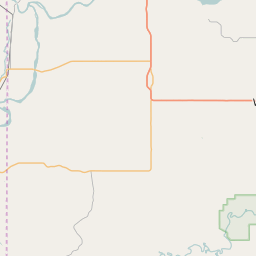
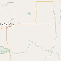
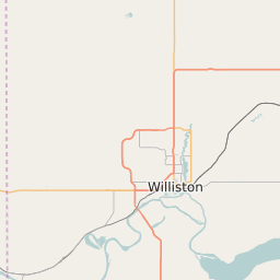
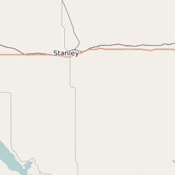
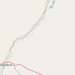
Mckenzie County North Dakota Map and Data


Mckenzie County North Dakota Profile and Data
| Name | Mckenzie County |
| State | North Dakota |
| FIPS Code | 38053 |
| County Seat | Watford City |
| Timezone | Central Daylight Time (CDT) |
| Population (2022) | 6,692 |
| Population Growth Rate(2000-2022) | 131.19% |
| Majority Ethnicity | White 85.61% |
| Public School Majority Ethnicity | White 60% |
| Partisan Voting Index | Strongly Republican:+35 |
| Unemployment Rate (February 2025) | 1.9% |
| Area Code(s) | 701 |
Mckenzie County Race/Ethnicity Data
| Race/Ethnicity | Percentage of Population (2022) |
|---|---|
| White | 85.61% |
| African American | 2.31% |
| Hispanic | 11.48% |
| Asian | 0.59% |
| Native American | 0% |
| Hawaiin/Pacific Islander | 0% |
Mckenzie County Public School Race/Ethnicity Data
| Race/Ethnicity | Percentage of Public School Students (2023) |
|---|---|
| White | 59.55% |
| African American | 1.87% |
| Hispanic | 17.96% |
| Asian | 0.81% |
| Native American | 16.97% |
| Hawaiin/Pacific Islander | 0.51% |