Mountrail County North Dakota Map and Data


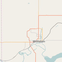
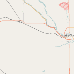


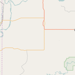
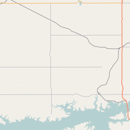
Mountrail County North Dakota Profile and Data
| Name | Mountrail County |
| State | North Dakota |
| FIPS Code | 38061 |
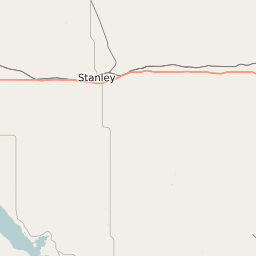
| County Seat | Stanley |
| Timezone | Central Daylight Time (CDT) |
| Population (2022) | 7,830 |
| Population Growth Rate(2000-2022) | 27.84% |
| Majority Ethnicity | White 64.12% |
| Public School Majority Ethnicity | Native American 49% |
| Partisan Voting Index | Strongly Republican:+21 |
| Unemployment Rate (February 2025) | 1.8% |
| Area Code(s) | 701 |
Mountrail County Race/Ethnicity Data
| Race/Ethnicity | Percentage of Population (2022) |
|---|---|
| White | 64.12% |
| African American | 2% |
| Hispanic | 32.84% |
| Asian | 0.77% |
| Native American | 0.13% |
| Hawaiin/Pacific Islander | 0.13% |
Mountrail County Public School Race/Ethnicity Data
| Race/Ethnicity | Percentage of Public School Students (2023) |
|---|---|
| White | 38.96% |
| African American | 0.71% |
| Hispanic | 7.9% |
| Asian | 1.7% |
| Native American | 48.77% |
| Hawaiin/Pacific Islander | 0.18% |