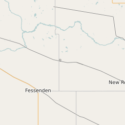
Stutsman County North Dakota Map and Data


Stutsman County North Dakota Profile and Data
| Name | Stutsman County |
| State | North Dakota |
| FIPS Code | 38093 |
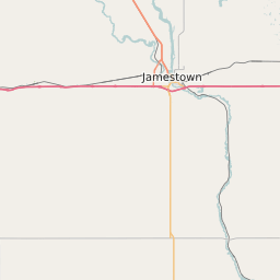
| County Seat | Jamestown |
| Timezone | Central Daylight Time (CDT) |
| Population (2022) | 20,965 |
| Population Growth Rate(2000-2022) | 2.34% |
| Majority Ethnicity | White 95.49% |
| Public School Majority Ethnicity | White 84% |
| Partisan Voting Index | Strongly Republican:+22 |
| Unemployment Rate (February 2025) | 2.8% |
| Area Code(s) | 701 |
Stutsman County Race/Ethnicity Data
| Race/Ethnicity | Percentage of Population (2022) |
|---|---|
| White | 95.49% |
| African American | 2.1% |
| Hispanic | 1.6% |
| Asian | 0.78% |
| Native American | 0.01% |
| Hawaiin/Pacific Islander | 0.01% |
Stutsman County Public School Race/Ethnicity Data
| Race/Ethnicity | Percentage of Public School Students (2023) |
|---|---|
| White | 84.48% |
| African American | 4.02% |
| Hispanic | 4.76% |
| Asian | 0.41% |
| Native American | 1.45% |
| Hawaiin/Pacific Islander | 0.11% |