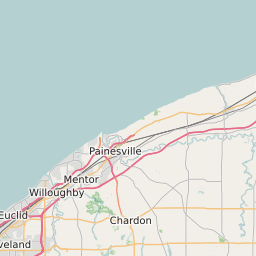
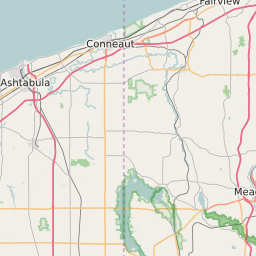
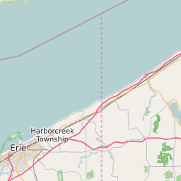
Ashtabula County Ohio Map and Data


Ashtabula County Ohio Profile and Data
| Name | Ashtabula County |
| State | Ohio |
| FIPS Code | 39007 |
| County Seat | Jefferson |
| Timezone | Eastern Daylight Time (EDT) |
| Population (2022) | 101,262 |
| Population Growth Rate(2000-2022) | -3.87% |
| Majority Ethnicity | White 95.64% |
| Public School Majority Ethnicity | White 82% |
| Partisan Voting Index | Republican:+14 |
| Unemployment Rate (February 2025) | 5.6% |
| Area Code(s) | 436 / 440 / 234 / 330 |
Ashtabula County Race/Ethnicity Data
| Race/Ethnicity | Percentage of Population (2022) |
|---|---|
| White | 95.64% |
| African American | 3.79% |
| Hispanic | 0.09% |
| Asian | 0.4% |
| Native American | 0.04% |
| Hawaiin/Pacific Islander | 0.04% |
Ashtabula County Public School Race/Ethnicity Data
| Race/Ethnicity | Percentage of Public School Students (2023) |
|---|---|
| White | 81.69% |
| African American | 2.23% |
| Hispanic | 8.5% |
| Asian | 0.28% |
| Native American | 0.08% |
| Hawaiin/Pacific Islander | 0.03% |