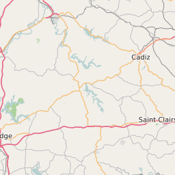
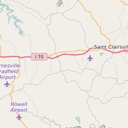
Belmont County Ohio Map and Data


Belmont County Ohio Profile and Data
| Name | Belmont County |
| State | Ohio |
| FIPS Code | 39013 |
| County Seat | St. Clairsville |
| Timezone | Eastern Daylight Time (EDT) |
| Population (2022) | 70,182 |
| Population Growth Rate(2000-2022) | -5.54% |
| Majority Ethnicity | White 96.02% |
| Public School Majority Ethnicity | White 91% |
| Partisan Voting Index | Strongly Republican:+24 |
| Unemployment Rate (February 2025) | 5.0% |
| Area Code(s) | 220 / 740 |
Belmont County Race/Ethnicity Data
| Race/Ethnicity | Percentage of Population (2022) |
|---|---|
| White | 96.02% |
| African American | 3.16% |
| Hispanic | 0.06% |
| Asian | 0.64% |
| Native American | 0.06% |
| Hawaiin/Pacific Islander | 0.06% |
Belmont County Public School Race/Ethnicity Data
| Race/Ethnicity | Percentage of Public School Students (2023) |
|---|---|
| White | 91.36% |
| African American | 1.93% |
| Hispanic | 1.44% |
| Asian | 0.26% |
| Native American | 0.08% |
| Hawaiin/Pacific Islander | 0.02% |