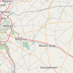
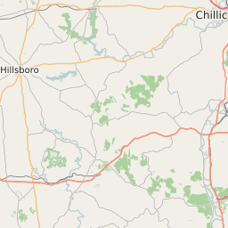
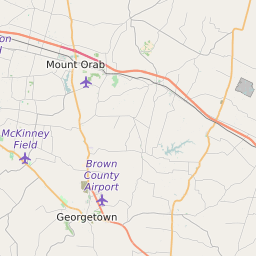
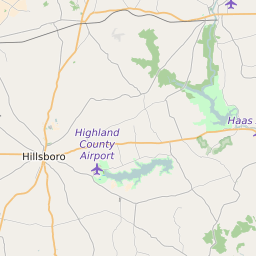
Brown County Ohio Map and Data

Brown County Ohio Profile and Data
| Name | Brown County |
| State | Ohio |
| FIPS Code | 39015 |
| County Seat | Georgetown |
| Timezone | Eastern Standard Time (EST) |
| Population (2022) | 44,666 |
| Population Growth Rate(2000-2022) | -2.61% |
| Majority Ethnicity | White 98.64% |
| Public School Majority Ethnicity | White 95% |
| Partisan Voting Index | Strongly Republican:+31 |
| Unemployment Rate (January 2025) | 4.4% |
| Area Code(s) | 326 / 937 / 283 / 513 |
Brown County Race/Ethnicity Data
| Race/Ethnicity | Percentage of Population (2022) |
|---|---|
| White | 98.64% |
| African American | 1.05% |
| Hispanic | 0.03% |
| Asian | 0.28% |
| Native American | 0% |
| Hawaiin/Pacific Islander | 0% |
Brown County Public School Race/Ethnicity Data
| Race/Ethnicity | Percentage of Public School Students (2023) |
|---|---|
| White | 95.4% |
| African American | 0.47% |
| Hispanic | 1.33% |
| Asian | 0.19% |
| Native American | 0.05% |
| Hawaiin/Pacific Islander | 0.06% |