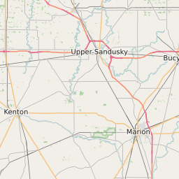
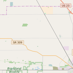
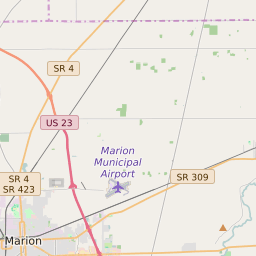
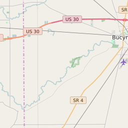
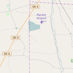
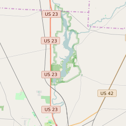
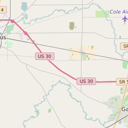
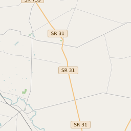
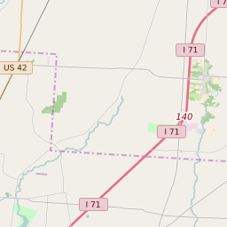
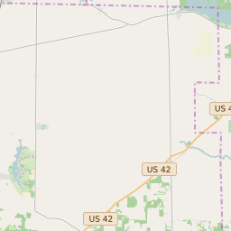
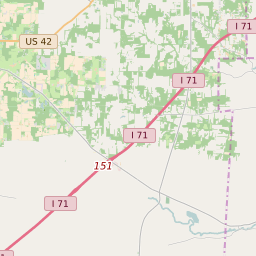
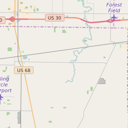
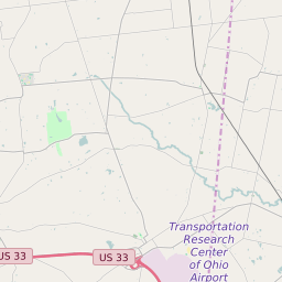
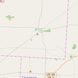
Marion County Ohio Map and Data


Marion County Ohio Profile and Data
| Name | Marion County |
| State | Ohio |
| FIPS Code | 39101 |
| County Seat | Marion |
| Timezone | Eastern Standard Time (EST) |
| Population (2022) | 66,514 |
| Population Growth Rate(2000-2022) | -1.72% |
| Majority Ethnicity | White 93.46% |
| Public School Majority Ethnicity | White 81% |
| Partisan Voting Index | Strongly Republican:+21 |
| Unemployment Rate (January 2025) | 4.1% |
| Area Code(s) | 220 / 740 / 419 / 567 |
Marion County Race/Ethnicity Data
| Race/Ethnicity | Percentage of Population (2022) |
|---|---|
| White | 93.46% |
| African American | 5.48% |
| Hispanic | 0.19% |
| Asian | 0.78% |
| Native American | 0.04% |
| Hawaiin/Pacific Islander | 0.04% |
Marion County Public School Race/Ethnicity Data
| Race/Ethnicity | Percentage of Public School Students (2023) |
|---|---|
| White | 81.28% |
| African American | 4.82% |
| Hispanic | 5.86% |
| Asian | 0.36% |
| Native American | 0.13% |
| Hawaiin/Pacific Islander | 0.07% |