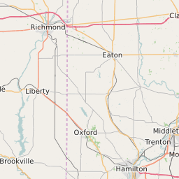
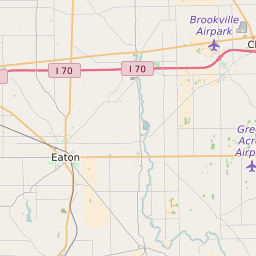
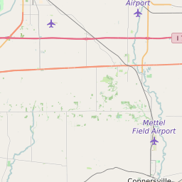
Preble County Ohio Map and Data


Preble County Ohio Profile and Data
| Name | Preble County |
| State | Ohio |
| FIPS Code | 39135 |
| County Seat | Eaton |
| Timezone | Eastern Standard Time (EST) |
| Population (2022) | 42,240 |
| Population Growth Rate(2000-2022) | -3.01% |
| Majority Ethnicity | White 98.98% |
| Public School Majority Ethnicity | White 94% |
| Partisan Voting Index | Strongly Republican:+30 |
| Unemployment Rate (January 2025) | 3.4% |
| Area Code(s) | 326 / 937 / 283 / 513 |
Preble County Race/Ethnicity Data
| Race/Ethnicity | Percentage of Population (2022) |
|---|---|
| White | 98.98% |
| African American | 0.7% |
| Hispanic | 0.05% |
| Asian | 0.23% |
| Native American | 0.02% |
| Hawaiin/Pacific Islander | 0.02% |
Preble County Public School Race/Ethnicity Data
| Race/Ethnicity | Percentage of Public School Students (2023) |
|---|---|
| White | 94.48% |
| African American | 0.56% |
| Hispanic | 1.68% |
| Asian | 0.41% |
| Native American | 0.05% |
| Hawaiin/Pacific Islander | 0.12% |