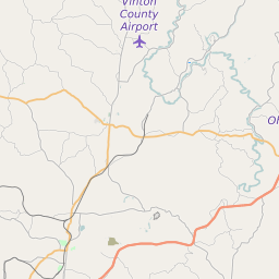
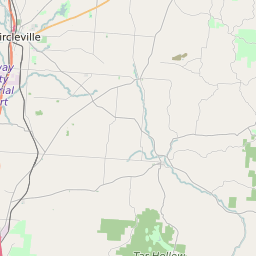
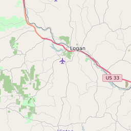
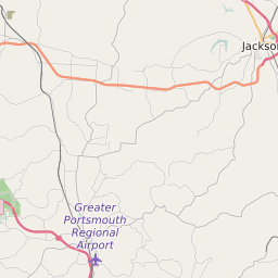
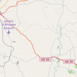
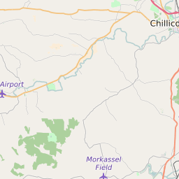
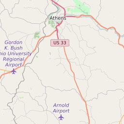
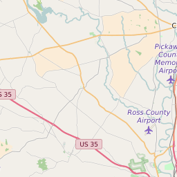
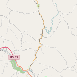
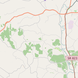
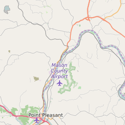
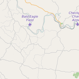
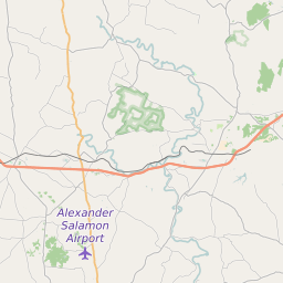
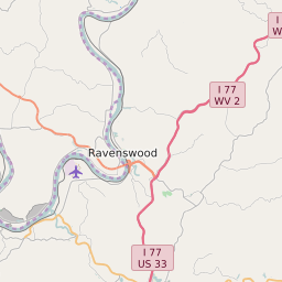
Vinton County Ohio Map and Data


Vinton County Ohio Profile and Data
| Name | Vinton County |
| State | Ohio |
| FIPS Code | 39163 |
| County Seat | McArthur |
| Timezone | Eastern Daylight Time (EDT) |
| Population (2022) | 13,397 |
| Population Growth Rate(2000-2022) | -4.73% |
| Majority Ethnicity | White 99.93% |
| Public School Majority Ethnicity | White 97% |
| Partisan Voting Index | Strongly Republican:+30 |
| Unemployment Rate (February 2025) | 5.8% |
| Area Code(s) | 220 / 740 |
Vinton County Race/Ethnicity Data
| Race/Ethnicity | Percentage of Population (2022) |
|---|---|
| White | 99.93% |
| African American | 0.07% |
| Hispanic | 0% |
| Asian | 0% |
| Native American | 0% |
| Hawaiin/Pacific Islander | 0% |
Vinton County Public School Race/Ethnicity Data
| Race/Ethnicity | Percentage of Public School Students (2023) |
|---|---|
| White | 97.28% |
| African American | 0.23% |
| Hispanic | 0.57% |
| Asian | 0.11% |
| Native American | 0.06% |
| Hawaiin/Pacific Islander | 0% |