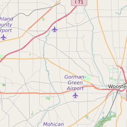
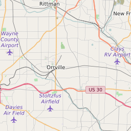
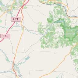
Wayne County Ohio Map and Data


Wayne County Ohio Profile and Data
| Name | Wayne County |
| State | Ohio |
| FIPS Code | 39169 |
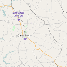
| County Seat | Wooster |
| Timezone | Eastern Daylight Time (EDT) |
| Population (2022) | 114,644 |
| Population Growth Rate(2000-2022) | 2.07% |
| Majority Ethnicity | White 97.36% |
| Public School Majority Ethnicity | White 89% |
| Partisan Voting Index | Republican:+20 |
| Unemployment Rate (February 2025) | 3.5% |
| Area Code(s) | 234 / 330 / 419 / 567 |
Wayne County Race/Ethnicity Data
| Race/Ethnicity | Percentage of Population (2022) |
|---|---|
| White | 97.36% |
| African American | 1.39% |
| Hispanic | 0.08% |
| Asian | 1.17% |
| Native American | 0% |
| Hawaiin/Pacific Islander | 0% |
Wayne County Public School Race/Ethnicity Data
| Race/Ethnicity | Percentage of Public School Students (2023) |
|---|---|
| White | 88.56% |
| African American | 1.61% |
| Hispanic | 4.61% |
| Asian | 0.74% |
| Native American | 0.05% |
| Hawaiin/Pacific Islander | 0.05% |