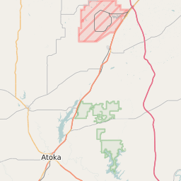
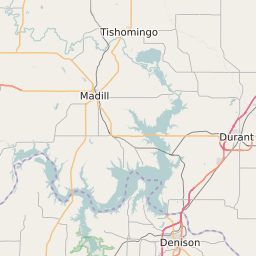
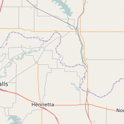
Coal County Oklahoma Map and Data

Coal County Oklahoma Profile and Data
| Name | Coal County |
| State | Oklahoma |
| FIPS Code | 40029 |
| County Seat | Coalgate |
| Timezone | Central Standard Time (CST) |
| Population (2022) | 5,906 |
| Population Growth Rate(2000-2022) | -11.12% |
| Majority Ethnicity | White 87.03% |
| Public School Majority Ethnicity | White 44% |
| Partisan Voting Index | Strongly Republican:+36 |
| Unemployment Rate (January 2025) | 3.5% |
| Area Code(s) | 580 |
Coal County Race/Ethnicity Data
| Race/Ethnicity | Percentage of Population (2022) |
|---|---|
| White | 87.03% |
| African American | 0.32% |
| Hispanic | 11.94% |
| Asian | 0.61% |
| Native American | 0.05% |
| Hawaiin/Pacific Islander | 0.05% |
Coal County Public School Race/Ethnicity Data
| Race/Ethnicity | Percentage of Public School Students (2023) |
|---|---|
| White | 44.08% |
| African American | 1.69% |
| Hispanic | 6.11% |
| Asian | 0.28% |
| Native American | 34.02% |
| Hawaiin/Pacific Islander | 0% |