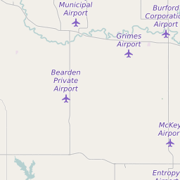
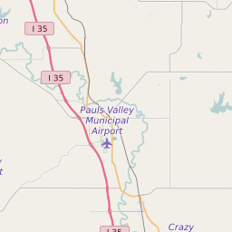
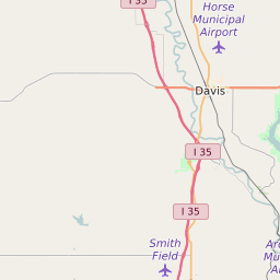
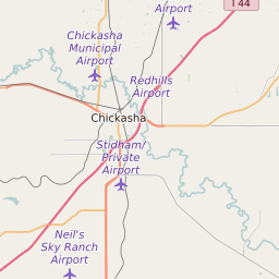
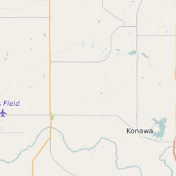
Garvin County Oklahoma Map and Data


Garvin County Oklahoma Profile and Data
| Name | Garvin County |
| State | Oklahoma |
| FIPS Code | 40049 |
| County Seat | Pauls Valley |
| Timezone | Central Standard Time (CST) |
| Population (2022) | 27,471 |
| Population Growth Rate(2000-2022) | -6.96% |
| Majority Ethnicity | White 92.49% |
| Public School Majority Ethnicity | White 58% |
| Partisan Voting Index | Strongly Republican:+34 |
| Unemployment Rate (January 2025) | 2.9% |
| Area Code(s) | 405 / 572 / 580 |
Garvin County Race/Ethnicity Data
| Race/Ethnicity | Percentage of Population (2022) |
|---|---|
| White | 92.49% |
| African American | 2.19% |
| Hispanic | 4.96% |
| Asian | 0.36% |
| Native American | 0% |
| Hawaiin/Pacific Islander | 0% |
Garvin County Public School Race/Ethnicity Data
| Race/Ethnicity | Percentage of Public School Students (2023) |
|---|---|
| White | 57.6% |
| African American | 2.42% |
| Hispanic | 15.26% |
| Asian | 0.61% |
| Native American | 15.64% |
| Hawaiin/Pacific Islander | 0.04% |