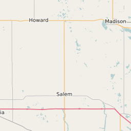
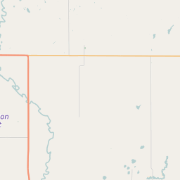
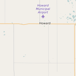
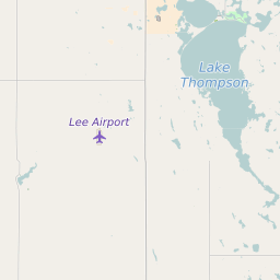
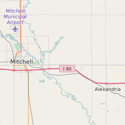
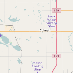
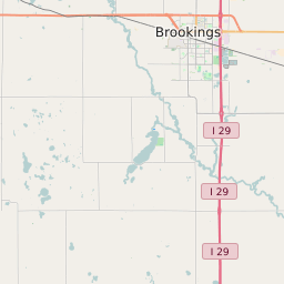
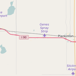
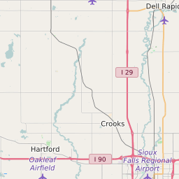
Miner County South Dakota Map and Data

Miner County South Dakota Profile and Data
| Name | Miner County |
| State | South Dakota |
| FIPS Code | 46097 |
| County Seat | Howard |
| Timezone | Central Standard Time (CST) |
| Population (2022) | 2,365 |
| Population Growth Rate(2000-2022) | -3.81% |
| Majority Ethnicity | White 97.62% |
| Public School Majority Ethnicity | White 94% |
| Partisan Voting Index | Strongly Republican:+22 |
| Unemployment Rate (January 2025) | 2.3% |
| Area Code(s) | 605 |
Miner County Race/Ethnicity Data
| Race/Ethnicity | Percentage of Population (2022) |
|---|---|
| White | 97.62% |
| African American | 0.57% |
| Hispanic | 1.37% |
| Asian | 0.44% |
| Native American | 0% |
| Hawaiin/Pacific Islander | 0% |
Miner County Public School Race/Ethnicity Data
| Race/Ethnicity | Percentage of Public School Students (2023) |
|---|---|
| White | 93.71% |
| African American | 0.94% |
| Hispanic | 3.46% |
| Asian | 0% |
| Native American | 1.26% |
| Hawaiin/Pacific Islander | 0% |