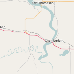
Stanley County South Dakota Map and Data


Stanley County South Dakota Profile and Data
| Name | Stanley County |
| State | South Dakota |
| FIPS Code | 46117 |
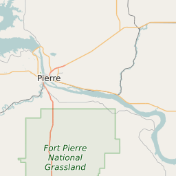
| County Seat | Fort Pierre |
| Timezone | Mountain Daylight Time (MDT) |
| Population (2022) | 2,940 |
| Population Growth Rate(2000-2022) | 0.47% |
| Majority Ethnicity | White 96.21% |
| Public School Majority Ethnicity | White 76% |
| Partisan Voting Index | Strongly Republican:+24 |
| Unemployment Rate (February 2025) | 1.2% |
| Area Code(s) | 605 |
Stanley County Race/Ethnicity Data
| Race/Ethnicity | Percentage of Population (2022) |
|---|---|
| White | 96.21% |
| African American | 0.31% |
| Hispanic | 3.47% |
| Asian | 0% |
| Native American | 0% |
| Hawaiin/Pacific Islander | 0% |
Stanley County Public School Race/Ethnicity Data
| Race/Ethnicity | Percentage of Public School Students (2023) |
|---|---|
| White | 76.44% |
| African American | 0% |
| Hispanic | 3.37% |
| Asian | 0% |
| Native American | 13.46% |
| Hawaiin/Pacific Islander | 0% |