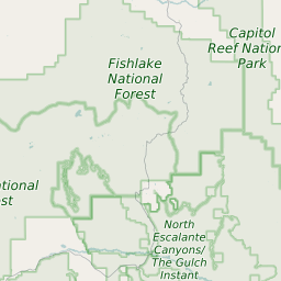
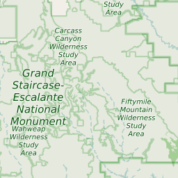
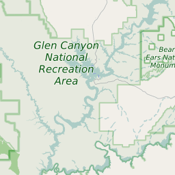
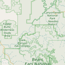
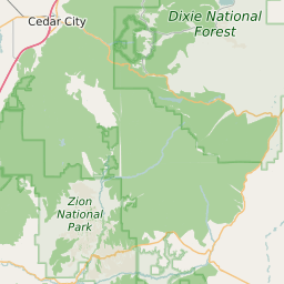
Garfield County Utah Map and Data

Garfield County Utah Profile and Data
| Name | Garfield County |
| State | Utah |
| FIPS Code | 49017 |
| County Seat | Panguitch |
| Timezone | Mountain Daylight Time (MDT) |
| Population (2022) | 5,107 |
| Population Growth Rate(2000-2022) | -1.72% |
| Majority Ethnicity | White 96.1% |
| Public School Majority Ethnicity | White 84% |
| Partisan Voting Index | Strongly Republican:+31 |
| Unemployment Rate (February 2025) | 8.8% |
| Area Code(s) | 435 |
Garfield County Race/Ethnicity Data
| Race/Ethnicity | Percentage of Population (2022) |
|---|---|
| White | 96.1% |
| African American | 0.12% |
| Hispanic | 2.91% |
| Asian | 0% |
| Native American | 0.44% |
| Hawaiin/Pacific Islander | 0.44% |
Garfield County Public School Race/Ethnicity Data
| Race/Ethnicity | Percentage of Public School Students (2023) |
|---|---|
| White | 84.38% |
| African American | 0.23% |
| Hispanic | 9.83% |
| Asian | 0.46% |
| Native American | 2.82% |
| Hawaiin/Pacific Islander | 0.23% |