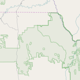
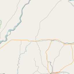
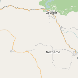
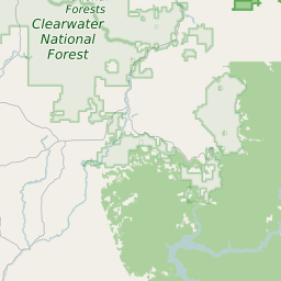
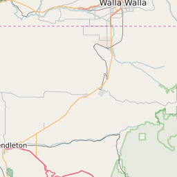
Garfield County Washington Map and Data


Garfield County Washington Profile and Data
| Name | Garfield County |
| State | Washington |
| FIPS Code | 53023 |
| County Seat | Pomeroy |
| Timezone | Pacific Daylight Time (PDT) |
| Population (2022) | 2,246 |
| Population Growth Rate(2000-2022) | 0.88% |
| Majority Ethnicity | White 97.43% |
| Public School Majority Ethnicity | White 85% |
| Partisan Voting Index | Strongly Republican:+24 |
| Unemployment Rate (February 2025) | 6.2% |
| Area Code(s) | 509 |
Garfield County Race/Ethnicity Data
| Race/Ethnicity | Percentage of Population (2022) |
|---|---|
| White | 97.43% |
| African American | 1.03% |
| Hispanic | 0.05% |
| Asian | 1.5% |
| Native American | 0% |
| Hawaiin/Pacific Islander | 0% |
Garfield County Public School Race/Ethnicity Data
| Race/Ethnicity | Percentage of Public School Students (2023) |
|---|---|
| White | 84.9% |
| African American | 0.57% |
| Hispanic | 12.25% |
| Asian | 1.14% |
| Native American | 0.28% |
| Hawaiin/Pacific Islander | 0% |