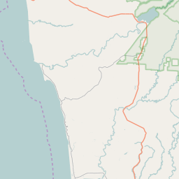
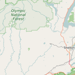
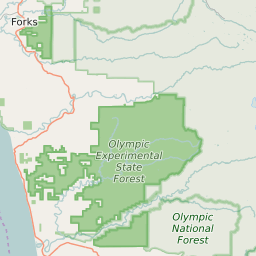
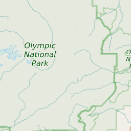
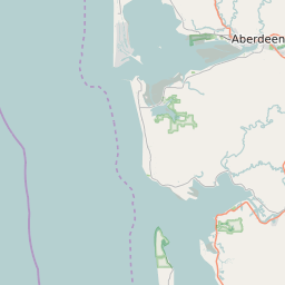
Grays Harbor County Washington Map and Data


Grays Harbor County Washington Profile and Data
| Name | Grays Harbor County |
| State | Washington |
| FIPS Code | 53027 |
| County Seat | Montesano |
| Timezone | Pacific Standard Time (PST) |
| Population (2022) | 72,272 |
| Population Growth Rate(2000-2022) | 3.9% |
| Majority Ethnicity | White 91.94% |
| Public School Majority Ethnicity | White 58% |
| Partisan Voting Index | Republican:+3 |
| Unemployment Rate (January 2025) | 6.9% |
| Area Code(s) | 360 / 564 |
Grays Harbor County Race/Ethnicity Data
| Race/Ethnicity | Percentage of Population (2022) |
|---|---|
| White | 91.94% |
| African American | 1.57% |
| Hispanic | 4.3% |
| Asian | 1.34% |
| Native American | 0.42% |
| Hawaiin/Pacific Islander | 0.42% |
Grays Harbor County Public School Race/Ethnicity Data
| Race/Ethnicity | Percentage of Public School Students (2023) |
|---|---|
| White | 58.29% |
| African American | 1% |
| Hispanic | 26.3% |
| Asian | 1.04% |
| Native American | 5.26% |
| Hawaiin/Pacific Islander | 0.2% |