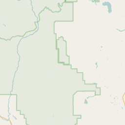
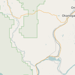
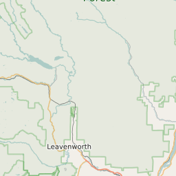
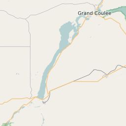
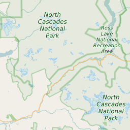
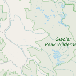
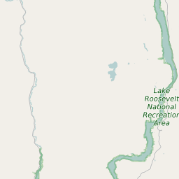
Okanogan County Washington Map and Data


Okanogan County Washington Profile and Data
| Name | Okanogan County |
| State | Washington |
| FIPS Code | 53047 |
| County Seat | Okanogan |
| Timezone | Pacific Standard Time (PST) |
| Population (2022) | 40,959 |
| Population Growth Rate(2000-2022) | 2.39% |
| Majority Ethnicity | White 85.77% |
| Public School Majority Ethnicity | White 46% |
| Partisan Voting Index | Republican:+8 |
| Unemployment Rate (January 2025) | 5.2% |
| Area Code(s) | 509 |
Okanogan County Race/Ethnicity Data
| Race/Ethnicity | Percentage of Population (2022) |
|---|---|
| White | 85.77% |
| African American | 1.71% |
| Hispanic | 11.46% |
| Asian | 0.74% |
| Native American | 0.16% |
| Hawaiin/Pacific Islander | 0.16% |
Okanogan County Public School Race/Ethnicity Data
| Race/Ethnicity | Percentage of Public School Students (2023) |
|---|---|
| White | 46.4% |
| African American | 2.72% |
| Hispanic | 33.17% |
| Asian | 1.92% |
| Native American | 7.98% |
| Hawaiin/Pacific Islander | 0.3% |