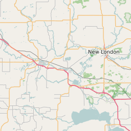
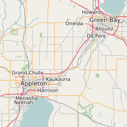
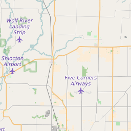
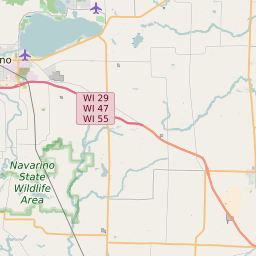
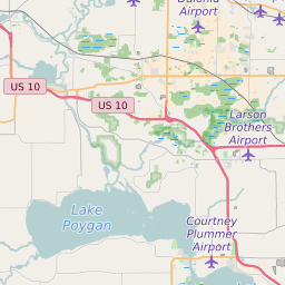
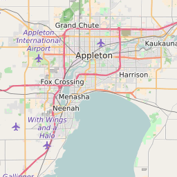
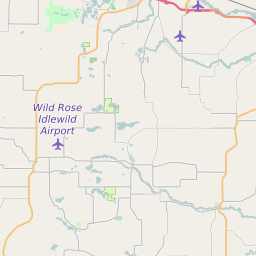
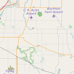
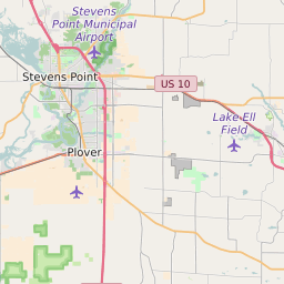
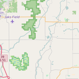
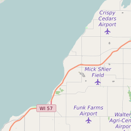
Outagamie County Wisconsin Map and Data


Outagamie County Wisconsin Profile and Data
| Name | Outagamie County |
| State | Wisconsin |
| FIPS Code | 55087 |
| County Seat | Appleton |
| Timezone | Central Daylight Time (CDT) |
| Population (2022) | 176,777 |
| Population Growth Rate(2000-2022) | 7.93% |
| Majority Ethnicity | White 93.36% |
| Public School Majority Ethnicity | White 75% |
| Partisan Voting Index | Republican:+6 |
| Unemployment Rate (June 2025) | 2.9% |
| Area Code(s) | 274 / 920 / 535 / 715 |
Outagamie County Race/Ethnicity Data
| Race/Ethnicity | Percentage of Population (2022) |
|---|---|
| White | 93.36% |
| African American | 1.54% |
| Hispanic | 1.36% |
| Asian | 3.61% |
| Native American | 0.06% |
| Hawaiin/Pacific Islander | 0.06% |
Outagamie County Public School Race/Ethnicity Data
| Race/Ethnicity | Percentage of Public School Students (2023) |
|---|---|
| White | 74.94% |
| African American | 2.77% |
| Hispanic | 8.65% |
| Asian | 6.42% |
| Native American | 2.26% |
| Hawaiin/Pacific Islander | 0.12% |